GitHub
 LinkedIn
 Email
Email
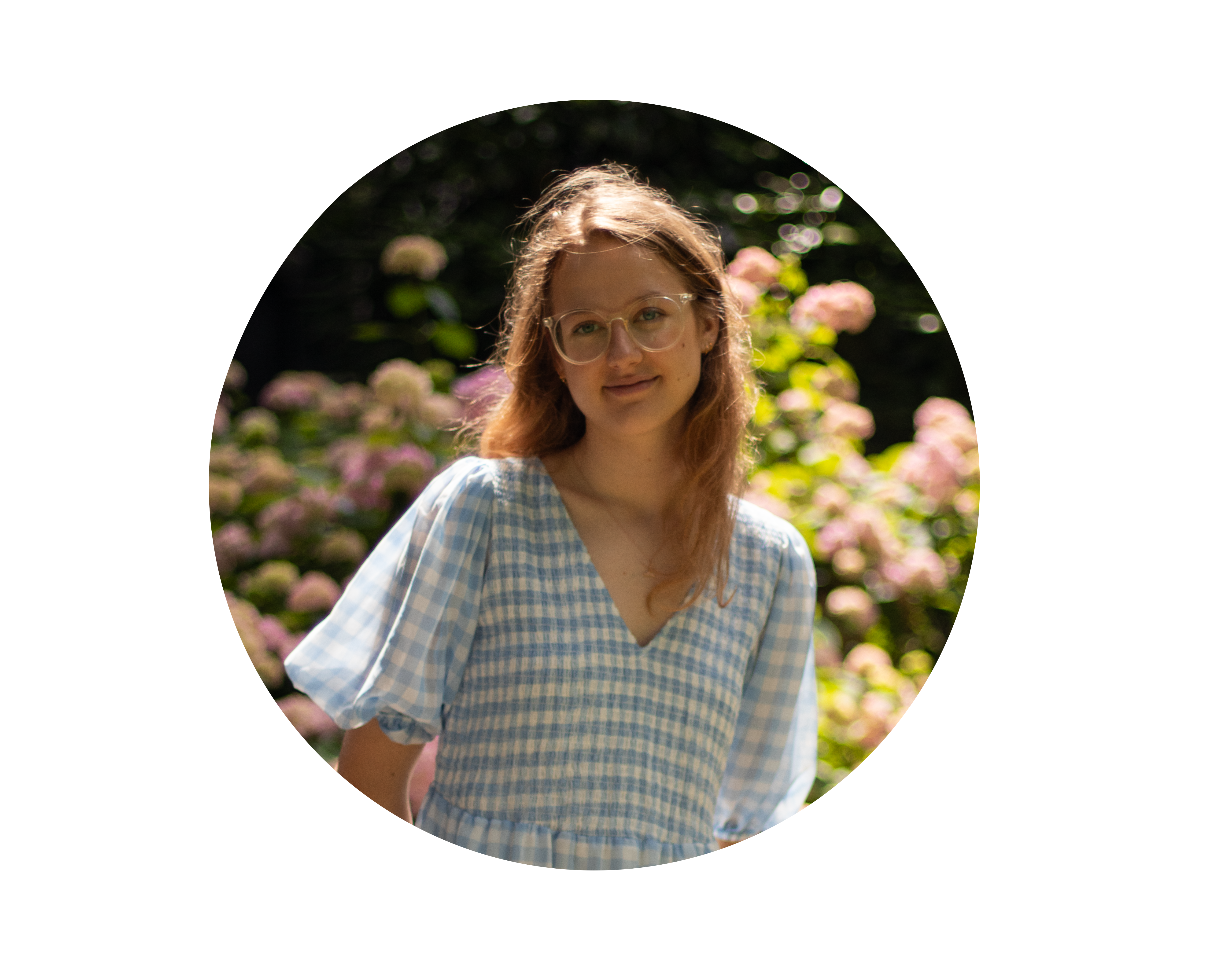
I am Gabrielė Tijūnaitytė, a PhD Researcher at the MEO-Lab, University of Bonn,
specializing in AI for Earth Observations.
With a strong foundation in Geo-Information Science, my work lies at the intersection of
deep learning, computer vision, and geospatial analysis. My current research focuses on
Implicit Neural Representations for Geospatial Data—specifically, learning better continuous
neural representations of the Earth and its dynamics from Earth Observation data.
I am dedicated to building impactful, data-driven solutions to environmental challenges,
drawing on my broader expertise in multi-modal satellite imagery, large vision-language
models, and contrastive deep learning.
Outside of research, I enjoy trying out new recipes and running.
Researching Implicit Neural Representations for Geospatial Data. Focus on learning continuous neural representations of Earth and its dynamics from Earth Observation data.
Fine-tuning Large Vision–Language Models for dam infrastructure classification and geo-reasoning.
Geoscripting and Big Data courses — Python, R, and Bash for spatial analysis.
Led team building a deep learning super-resolution pipeline for road detection in satellite imagery. Read blog post.
Built isotope records database; literature reviews and presentations.
| GPA: 9.0/10.0
Machine & Deep Learning · Data Sciences.
Thesis: Contrastive deep learning for matching marine debris patches across PlanetScope and Sentinel-2 imagery.
| GPA: 9.8/10.0
Remote Sensing & Environmental Sciences.
| GPA: 9.9/10.0
Thesis: Dynamics of Pilkosios Dunes Relief 2010–2022, Digital Elevation Model Analysis.
 NASA ARSET: Monitoring Aquatic Vegetation with Remote Sensing
 NASA ARSET: Monitoring & Modeling Floods using Earth Observations
 Python Data Associate — DataCamp
 Data Analysis with Python — freeCodeCamp
Scientific Computing with Python — freeCodeCamp
Data Analysis with Python — freeCodeCamp
Scientific Computing with Python — freeCodeCamp
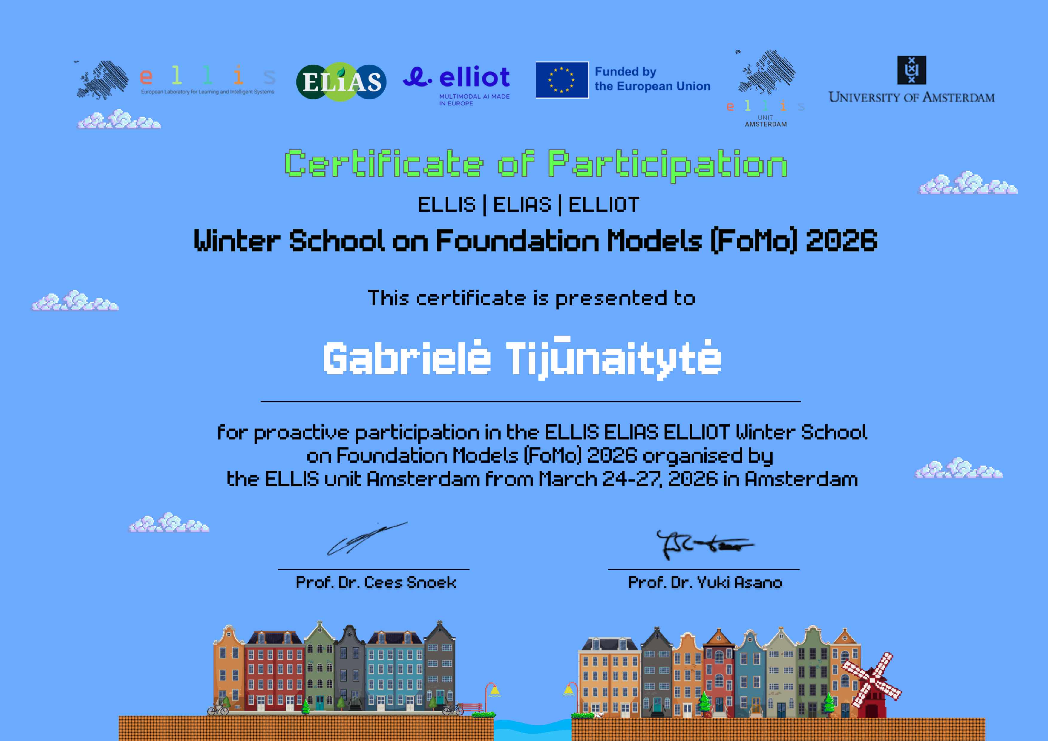 Winter School on Foundation Models
 GPU Programming — eScience Center
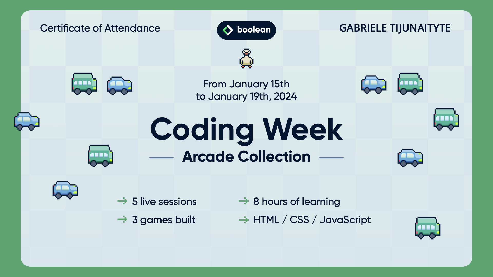 HTML / CSS / JavaScript Coding Week
For more information about me or my work, feel free to reach out.